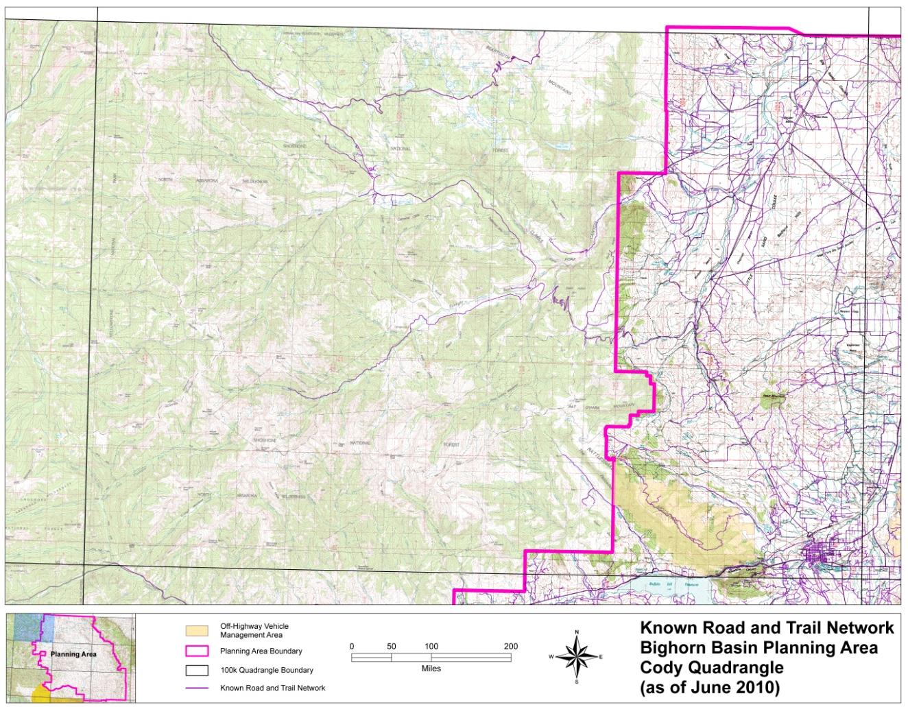
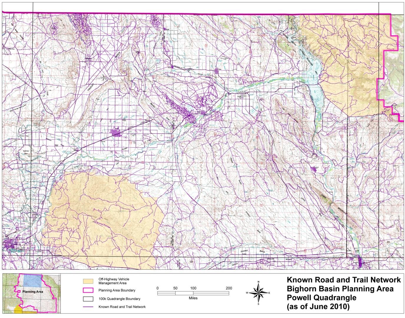
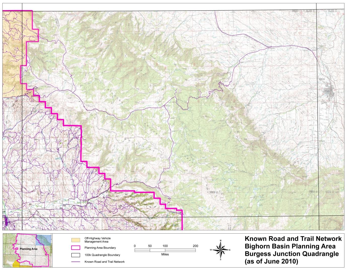
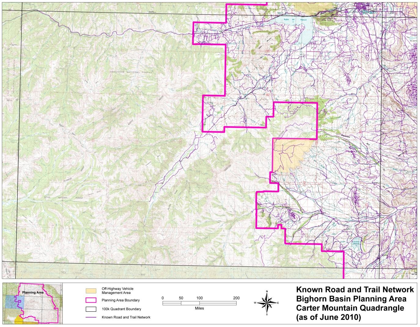
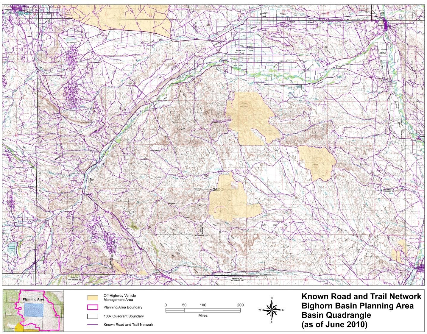
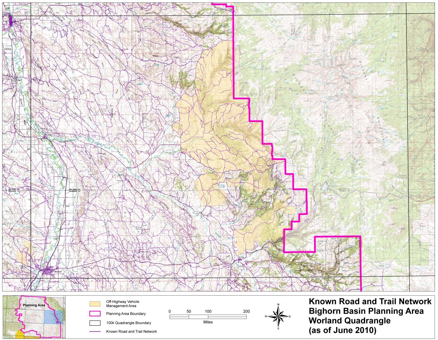
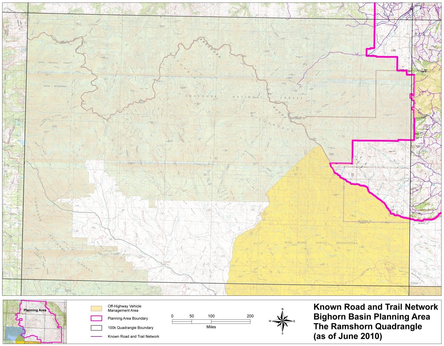
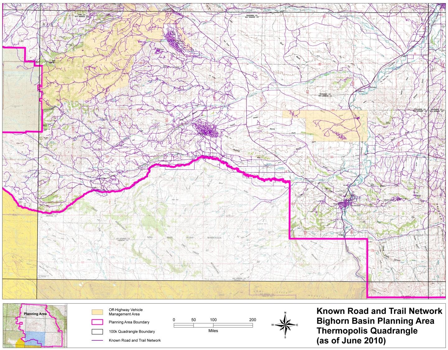
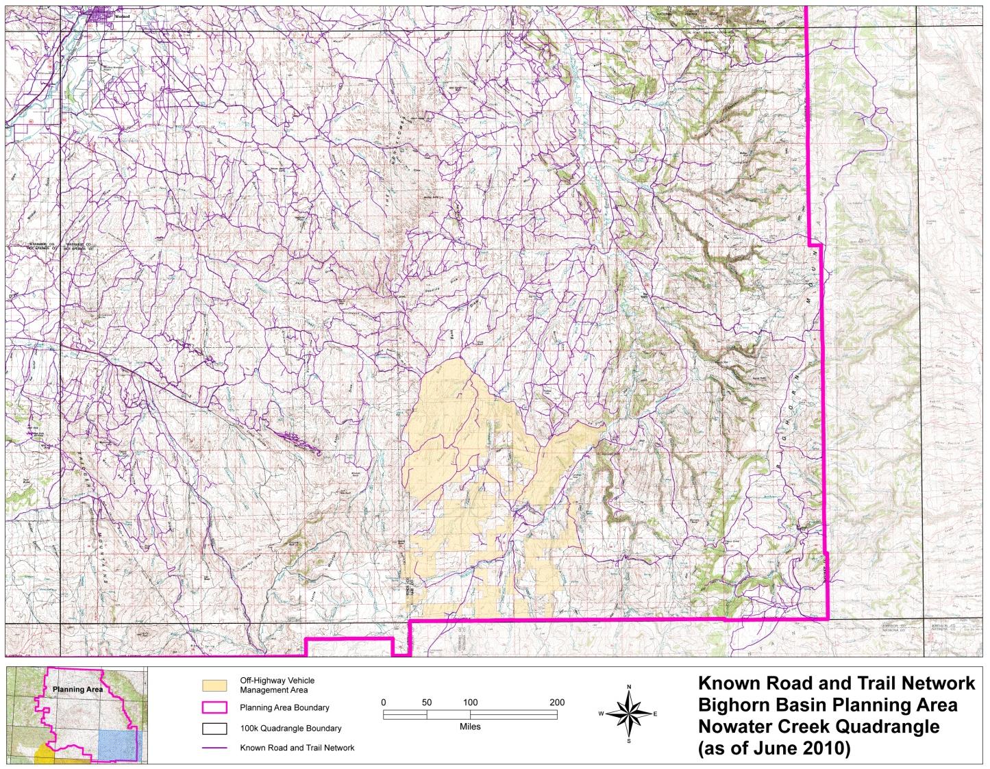
The Figures R-1 through R-9 display the known road and trail network in the Planning Area as of June 2010. Any future decisions to limit travel to designated roads would be based on updated, site specific inventories that would include public participation.